Calle Mayor de Triana (Main Street of Triana), Las Palmas de Gran Canaria (must see)
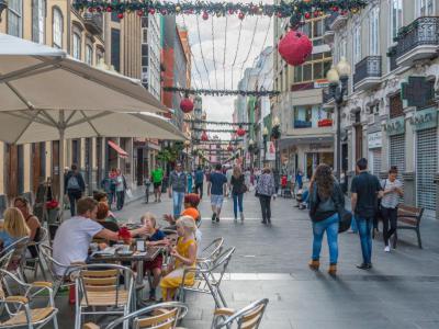
Main Street of Triana stands as the principal thoroughfare of the Triana neighborhood. It reigns as one of the city's foremost commercial hubs, pulsating with the energy of bustling shops, restaurants, and cultural attractions. The street's rich tapestry of history and urban development traces back to its humble beginnings at the Guiniguada ravine, where the Puente de Palo once bridged the divide between Triana and the Vegueta neighborhood. From this point, Main Street of Triana stretches parallel to the coastline, leading to the picturesque San Telmo Park, marking the erstwhile boundary of the city's urban core in the 19th century.
Throughout the 19th century, Triana underwent a period of architectural evolution, spurred by the socioeconomic aspirations of the burgeoning bourgeoisie. The dissolution of convents and subsequent privatization of their properties catalyzed the creation of new streets, squares, and residential edifices, including the iconic Calle Mayor. Notable landmarks such as the Military Government building and the Pérez Galdós Theater emerged at opposite ends of the neighborhood, leaving an indelible imprint on the urban fabric of Triana.
As the 20th century dawned, the architectural landscape of Main Street of Triana experienced a metamorphosis, characterized by the emergence of modernist and rationalist influences. Affluent families undertook extensive renovations, adorning their homes with ornate facades that served as a testament to their social stature. Meanwhile, monumental structures like the Island Council of Gran Canaria headquarters, designed by architect Miguel Martín-Fernández de la Torre, added a touch of grandeur to the streetscape, symbolizing the neighborhood's embrace of technological and industrial progress.
Want to visit this sight? Check out these Self-Guided Walking Tours in Las Palmas de Gran Canaria. Alternatively, you can download the mobile app "GPSmyCity: Walks in 1K+ Cities" from Apple App Store or Google Play Store. The app turns your mobile device to a personal tour guide and it works offline, so no data plan is needed when traveling abroad.
Calle Mayor de Triana (Main Street of Triana) on Map
Sight Name: Calle Mayor de Triana (Main Street of Triana)
Sight Location: Las Palmas de Gran Canaria, Spain (See walking tours in Las Palmas de Gran Canaria)
Sight Type: Attraction/Landmark
Guide(s) Containing This Sight:
Sight Location: Las Palmas de Gran Canaria, Spain (See walking tours in Las Palmas de Gran Canaria)
Sight Type: Attraction/Landmark
Guide(s) Containing This Sight:
Walking Tours in Las Palmas de Gran Canaria, Spain
Create Your Own Walk in Las Palmas de Gran Canaria
Creating your own self-guided walk in Las Palmas de Gran Canaria is easy and fun. Choose the city attractions that you want to see and a walk route map will be created just for you. You can even set your hotel as the start point of the walk.
Las Palmas de Gran Canaria Introduction Walking Tour
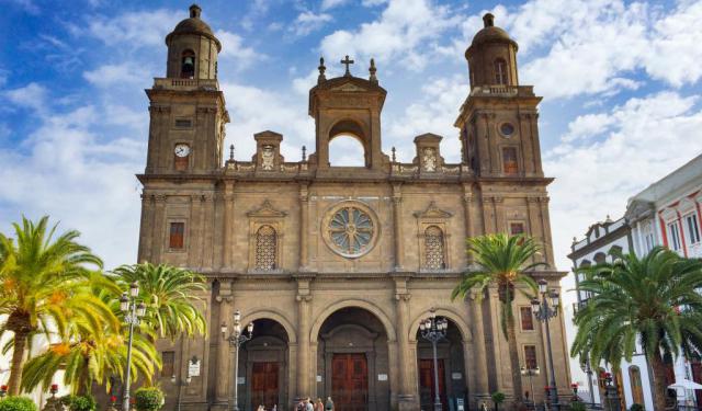
Situated along the rugged coast of Grand Canary Island, Las Palmas de Gran Canaria boasts a myriad of attractions. In addition to its unique urban beaches, numerous hotels, dining establishments, and recreational areas, Las Palmas offers a historic old town brimming with heritage, tracing back to the 15th century when Spanish explorers first set foot on these shores.
The city was founded in... view more
Tour Duration: 2 Hour(s)
Travel Distance: 3.0 Km or 1.9 Miles
The city was founded in... view more
Tour Duration: 2 Hour(s)
Travel Distance: 3.0 Km or 1.9 Miles
Las Palmas Port Area Walk
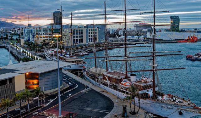
A pivotal point for maritime traffic between Europe, Africa, and America, La Luz Port constitutes one of Spain's principal ports and holds the distinction of being the foremost port in the West African geographical zone. Situated approximately five kilometers away from the city center of Las Palmas de Gran Canaria, it presents a diverse range of attractions to explore.
One prominent... view more
Tour Duration: 1 Hour(s)
Travel Distance: 2.8 Km or 1.7 Miles
One prominent... view more
Tour Duration: 1 Hour(s)
Travel Distance: 2.8 Km or 1.7 Miles


